LPRS survey
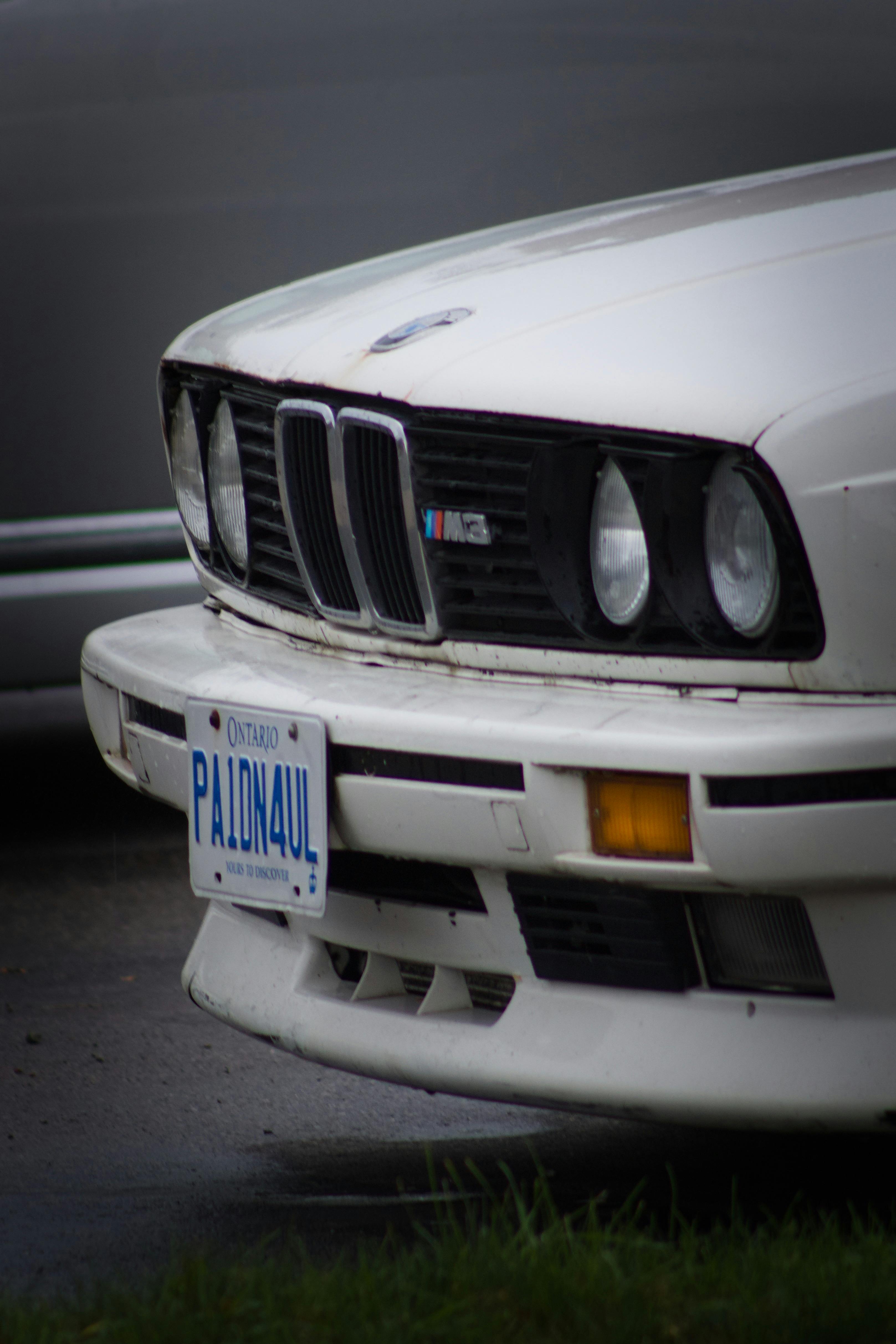
Ontario plate capture context aligned to timestamp matching and route pattern analysis.
Services
License plate surveys capture and record plate information as vehicles enter or exit target locations such as parking facilities, toll points, border crossings, and survey corridors. Automated plate-reading workflows support practical applications in parking operations, traffic analysis, and transportation studies.
Service objective
Capture reliable origin-destination and movement-pattern data by recording license plates and timestamps at designated locations.
Ontario plate capture context aligned to timestamp matching and route pattern analysis.
Tooling stack
Infrared license plate cameras
Automated plate recognition software
Timestamp synchronization controls
Secure match-processing workflow
Step 01
Position infrared LPRS units at entry, exit, or corridor points to maximize readable capture opportunities.
Step 02
Automatically record plate images and timestamps as vehicles pass the study boundary.
Step 03
Process plate-time records into movement pairs and route traces for origin-destination interpretation.
Step 04
Produce pattern summaries and supporting data tables for transportation planning and policy assessment.
Captured data
Analysis outputs
Continue Exploring
Service Planning
Share your locations, time windows, and required outputs. We will confirm fit and schedule.